 A A line of showers and thunderstorms will push into the area ahead of a
strong cold front later this evening. Right now the timing of storms
looks to be between 11pm and 1am in NW Alabama, between 1am and 3am in
the I-65 corridor.
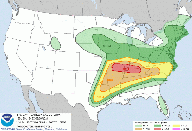
A A line of showers and thunderstorms will push into the area ahead of a
strong cold front later this evening. Right now the timing of storms
looks to be between 11pm and 1am in NW Alabama, between 1am and 3am in
the I-65 corridor. Severe weather is possible, particularly from Huntsville westward. Storms will be in a weakening stage as they reach NE Alabama. The primary severe weather threat is damaging wind gusts of 60-70mph, but an isolated tornado threat will exist as well, particularly as the storms arrive in NW Alabama. Lows tonight will drop into the mid 50s. The chance for rain is 100%.
After today, cooling sets in the next two weeks.

No comments:
Post a Comment